History
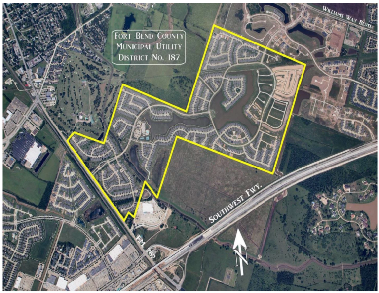
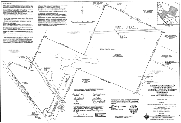
The District is a political subdivision of the State of Texas, created by order of the Texas Commission on Environmental Quality (“TCEQ”), on May 9, 2008, and operates pursuant to Chapters 49 and 54 of the Texas Water Code. The District contains approximately 520 acres of land.
The District is located approximately 30 miles southwest of the central downtown business district of the City of Houston and within the extraterritorial jurisdiction (“ETJ”) of the City of Richmond. The District is also located within the boundaries of the Lamar Consolidated Independent School District. The District is bounded by Farm-to-Market 762 on its west boundary and US Highway 59 to the southeast, which provide major access to the cities of Sugar Land and Houston for the residents in the District.
District Map